


Ready to get started?
Let’s talk! Our team of experts can help you clarify your needs and propose the most suitable solutions for you to successfully complete your mission.
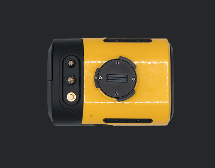
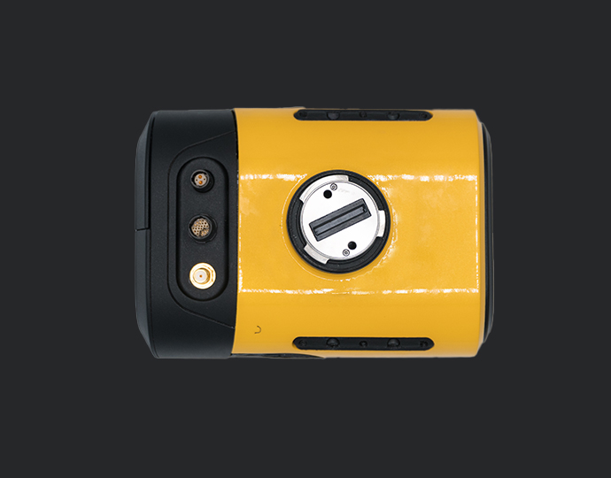
Mapper+
Small & compact. Mighty & powerful.
Compatible with
RGB camera module
Technology inside
Applanix / Livox

Key figures
- View detailed characteristics
- Precision3.5 cm
- Accuracy4 cm
- Typ. flight speed10 m/s
- Max. AGL altitude100 m
- Laser rangeUp to 230 m
- Laser scannerLivox AVIA
- GNSS-Inertial solutionApplanix APX-15 UAV
- Scanner field-of-view70.4° x 4.5°
- Echoes per shotUp to 3
- Shots per secondUp to 240 000
- Scanning frequencyUp to 10 Hz
- Weight1.1 kg (2.4 lbs) batt. excl.
- SizeL 150 x W 104 x H 132 mm
- Autonomy1 hour typ.
- Power consumption35 W
A variety of mission profiles


Mount it anywhere
The Mapper+ can be mounted on a wide range of UAV platforms due to its low weight.
View the integrations list


Accessories
So, what’s included ?

1 Hardshell backpack
3.2 kg

1 Mapper+
1.3 kg

2 batteries + 1 Charger
RRC 2040 - 10.80V

1 GNSS Antenna AV18
for YellowScan systems

2 USB keys
Sandisk 2to x2

CloudStation Essential
1 licence

Applanix POSPAC UAV

Technical support
1-year unlimite

Warranty
1 Year

1 Remote healthcheck

In-person or online training

Boresight calibration certificate
Optional add-ons

1 Mounting Bracket
for DJI M300/350

1 Mounting Bracket
for DJI M600

60 MP single-camera module
235 g

20 MP single-camera module
331 g

35 MP dual-camera module
575 g
CloudStation Pro
1 licence

YellowScan LiveStation
1 licence

Extensions
Warranty and technical support extensions
Knowledge base
Discover our solutions by reading about our users’ experience in the field.

Carbonix, a leading manufacturer of commercial UAVs in Australia, became involved in a significant project when approached by an Australian power network seeking solutions for scanning their transmission and distribution lines in challenging, undulating terrain. They reached out to Carbonix to see if they had a system and sensor combination that could effectively meet their brief.

In the realm of environmental monitoring and analysis, the accurate assessment of vegetation plays a crucial role in understanding ecosystems. Drones equipped with advanced imaging technologies have revolutionized this process by providing efficient and precise data collection methods.

Discover how a customer created the digital twin of a telecommunications tower in order to perform line of sight and radio frequency simulation analysis.

Our client, CIMA+, a renowned multidisciplinary company based in Canada, specializes in engineering, project management, and consulting services across various sectors. They were commissioned to conduct surveys of electrical powerlines.


Straight to the Point – LiDAR Application: Cross-Country Mapping for ZalaZONE Autonomous Vehicle Proving Ground


Make your life easier
Invest in productivity-enhancing features that will simplify your workflow and give you confidence in the deliverables produced for your projects.


Everything you need in one backpack
Carry your LiDAR along with everything else you might need. This backpack is the size of carry-on luggage and fits in any airline overhead compartment.


Testimonials
A word from our team

Chief Technology Officer
YellowScan
France
Hardware
Great quality data in any scenarios
Ideally suited for projects requiring higher flight speed.
Flight operation speed from 5 to 20m/s with a flying height of up to 100m.
Advanced calibration
All our systems are calibrated before shipment and come with a calibration certificate. Be ready to fly your system as soon as you receive it!

On-site training
YellowScan delivers complete training to new customers. The training is provided over 2 days and can take place at your premises or online.

Technical support
Our 1 year unlimited technical support from our experts enables you to confidently undertake your projects, whether you are new or experienced in the field.
