Webinar replay
Capture, process and finetune your LiDAR data
April 02nd, 2020
93 min
YellowScan
Straight to the Point
Episode 1
YellowScan presents new professional webinar series, “Straight to the point” for 2020. « Straight to the Point » is YellowScan’s brand spanking new webinar series for professional LiDAR operators and all those who appreciate the survey benefits of laser point clouds.
Our first season will provide six episodes, each with a dedicated Q & A session that lets you get into the nitty gritty. The first episode of our Straight to the Point series will be presented to you on April 02nd at 5PM GMT+2.
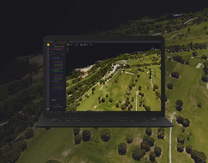
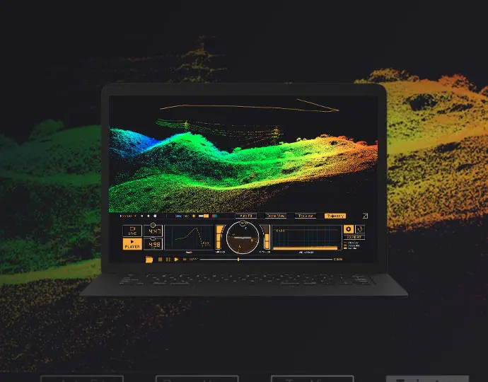
Episode 1 of “Straight to the Point” features a compelling review and how-to overview of our new, updated CloudStation® software with strip adjustment.
In this webinar, you’ll learn :
- LiDAR workflow from capture to final outputs
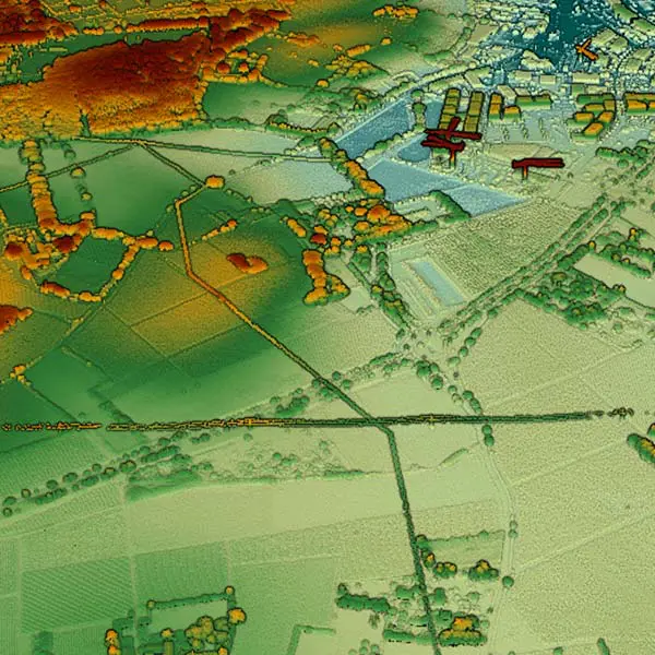
- How to translate your survey into point clouds
- How-to overview of our new, updated CloudStation® software with strip adjustment
