


New CloudStation Vertical Slicing Feature.
Nov 10, 2021


Check out this new feature in our CloudStation: Vertical Slicing!
This new vertical slicing feature comes with CloudStation Core release 2110.0.0 as an additional tool.
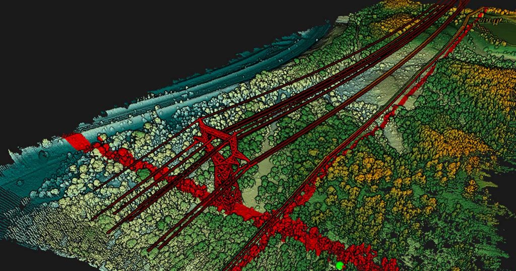
Vertical slices will help you get a better understanding of your generated point cloud.
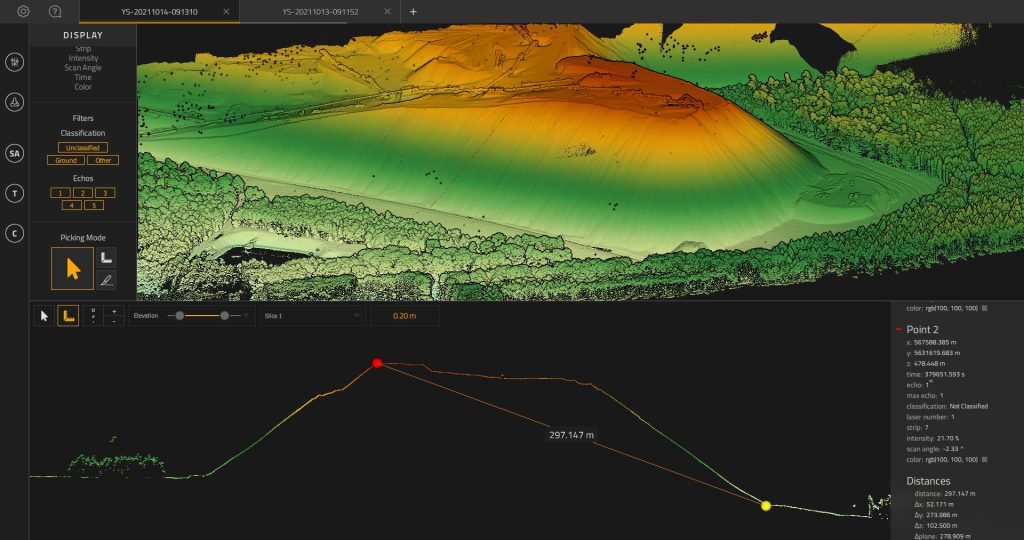
Measure denivelation
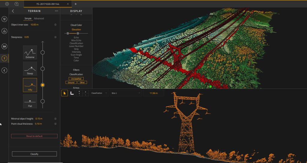
Asess the quality of the Ground classification, by checking the base of the vertical elements
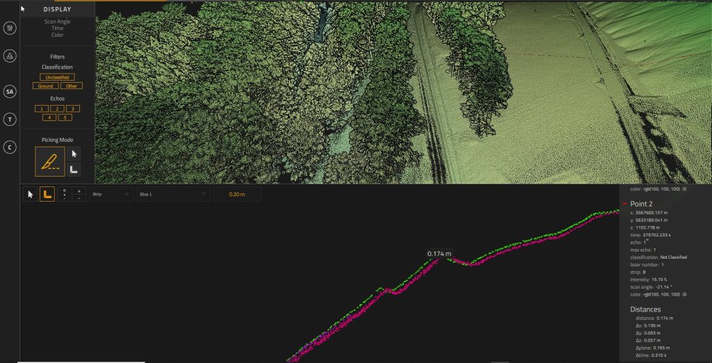
Check the mismatch between flightlines, by measuring the strip-to-strip distance. Before, or after Strip Adjustement
CloudStation provides a complete solution to create and manipulate point-cloud data. It allows you to extract, process and display data immediately after flight acquisition. The auto-generation of flight lines and the production of LAS files are now done in a few clicks.
Key business benefits that can be achieved from using CloudStation include:
Optional CloudStation add-ons: