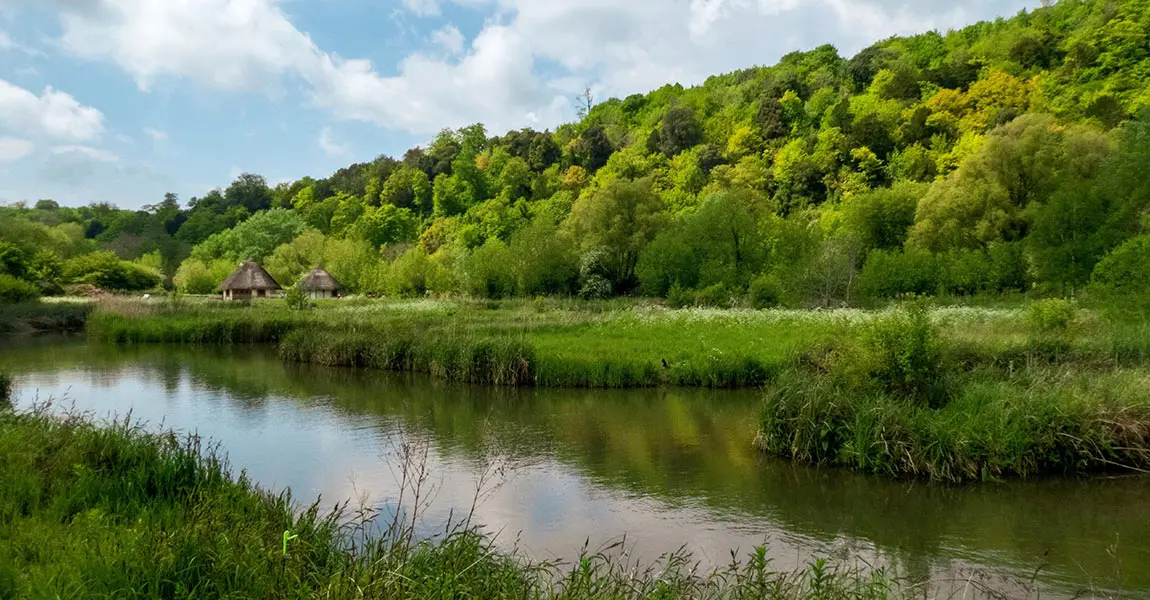
Discover how UAV LiDAR can help to monitor biodiversity in wetlands.
This project is about surveying a bog in harsh environments in an insular forest along the Loire river.
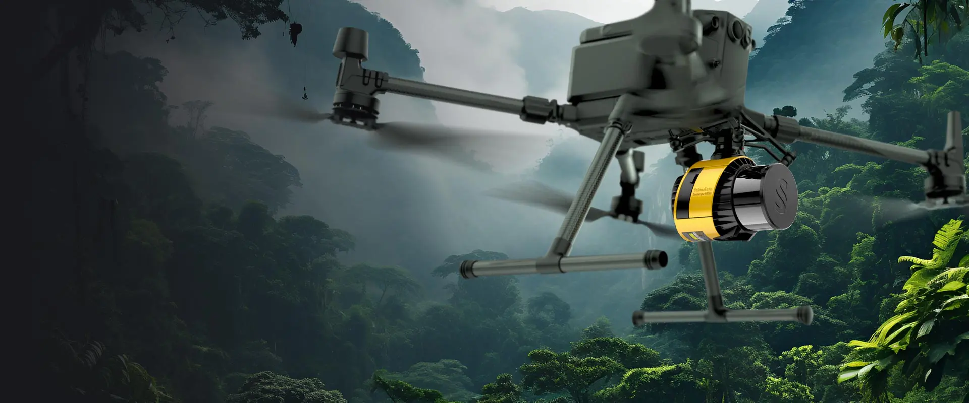
A combination of LiDAR and multispectral imagery was applied over an area of 13 hectares, using a multirotor Fox-C8 OnyxStar drone coupled with YellowScan’s Surveyor LiDAR and two cameras…
Latest knowledge
3D Modeling for Video Games using LiDAR (MotoGP 22)
Video games industry is turning to LiDAR technology to help it build 3D models in order to give players the best experience possible…
Success story: Parc Astérix, France
Drone Expertise Centre’s client, the Parc Asterix, in France, had an objective to produce very precise and complete topographic data on the whole of the amusement park and its surroundings.
Avalanche Risk Detection: Norwegian Public Roads Administration and Norges teknisk-naturvitenskapelige universitet (NTNU)
The Norwegian Public Roads administration Statens vegvesen and the Norwegian University of Science and Technology (NTNU) organized a proof-of-concept event in October of 2021 to bring together various government agencies to evaluate use of the latest LiDAR and drone technology to help with avalanche risk monitoring.