


Drone LiDAR mapping for Power grid design and maintenance in Finland

LiDAR for Drone mapping make Powerline network management easy
Eltel, a Nordic field service provider for power and communication networks, conducted in 2019 a pilot study with Loiste a Finland-based energy company. The aim of the project was to investigate how drone LiDAR can be used for power grid design, maintenance and issue solving.
Loiste, as an electricity provider, needs efficient and accurate network planning and maintenance. And powerline monitoring can be time-consuming, costly and risky with usual survey methods. “Inaccurate conventional mapping techniques, particularly in winter with snow coverage, can lead to additional costs and even project delays or stoppages,” says Aki Palo, Terrain Planning Manager in Kajaani region (central Finland) at Eltel. “The idea with drone mapping is that it can be used to produce an accurate basis for our infranet planning – even during the winter.”
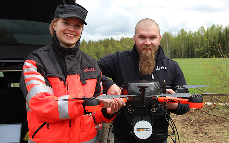
Lidar Drone Mapping for Powerlines – Eltel and Loiste with YellowScan Surveyor on Videodrone Geodrone X4L – Photo credit. Eltel/Loiste.
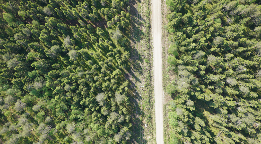
Lidar Drone Mapping for Powerlines in forested area – Photo credit. Eltel/Loiste.
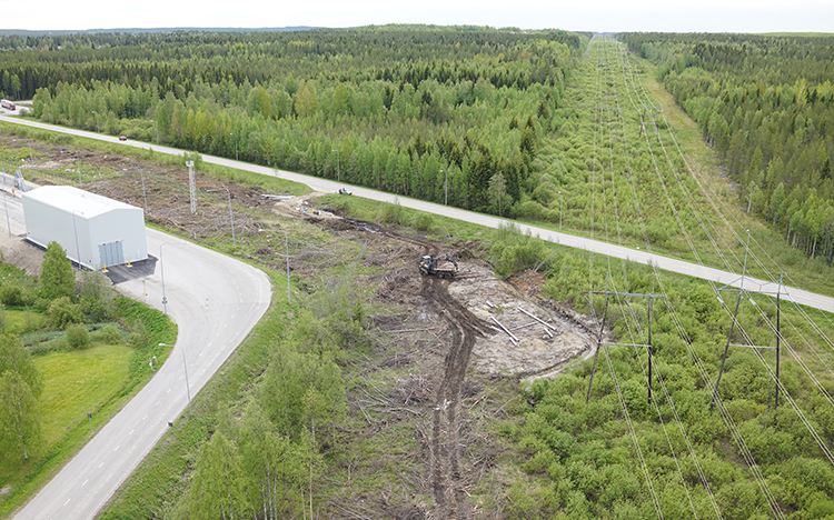
Aerial view of Powerline network in forested area – Photo credit. Eltel/Loiste.
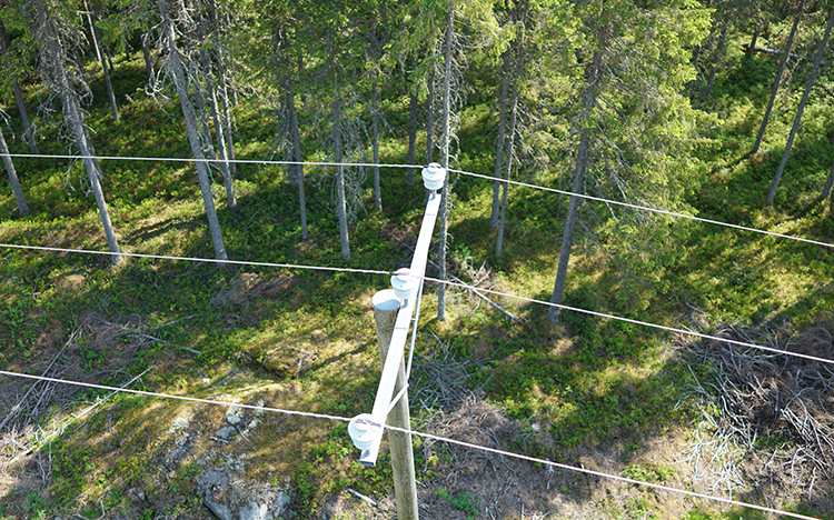
Aerial view of Powerline tower in forested area – Photo credit. Eltel/Loiste.
The pilot study with YellowScan Surveyor Drone LiDAR mounted on Videodrone GeoDrone X4L demonstrated how each flight can scan a 100m wide area, and these maps can be overlapped to create digital terrain models with an accuracy ranging from 3 to 6 cm. This is really helpful for fieldwork planning as drone mapping streamline terrain planning processes.
Read more bellow about how UAV LiDAR can drastically increase productivity and safety for powerline monitoring while reducing carbon footprint for infranet planning.
NB: Author Julien BO.
