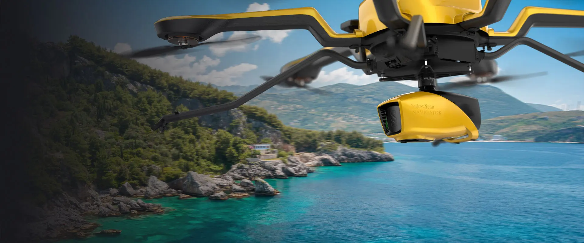
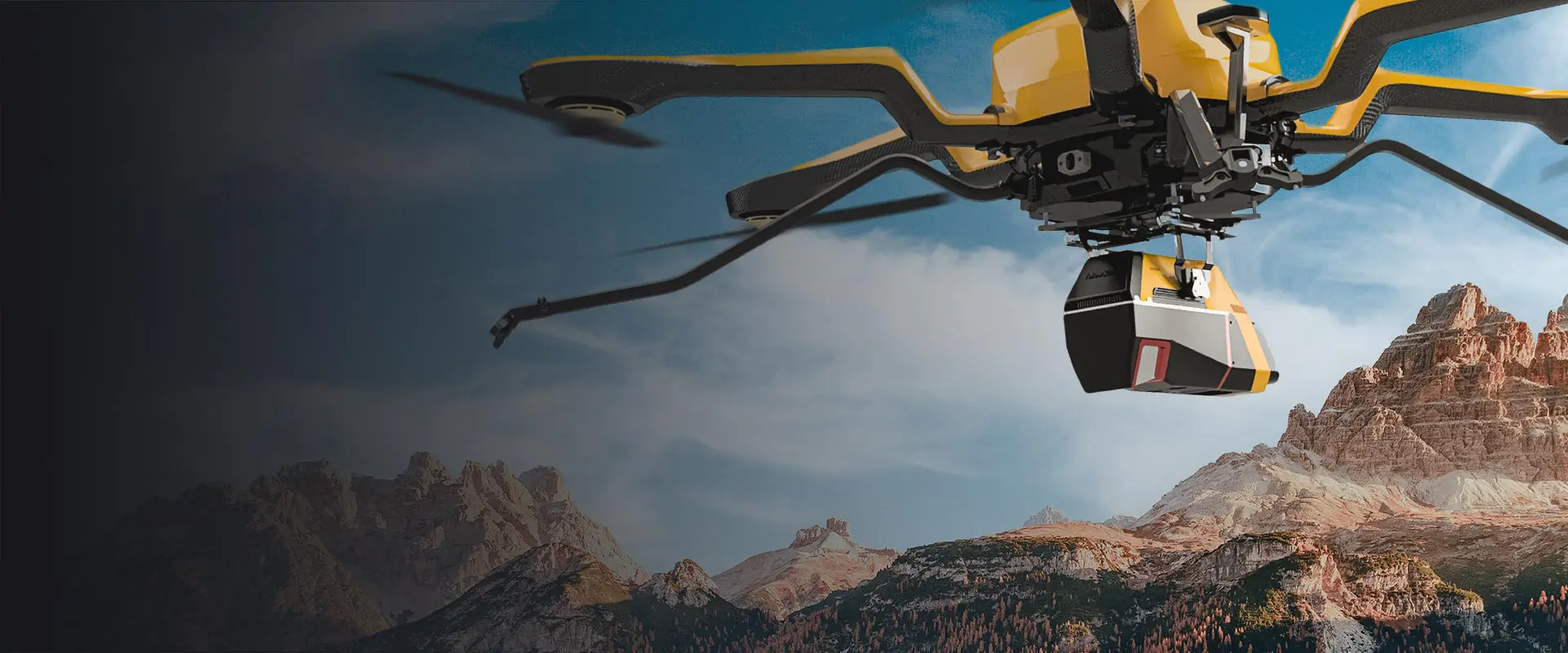
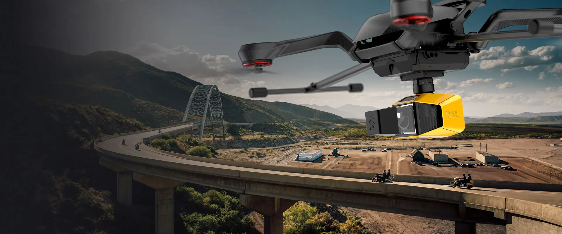
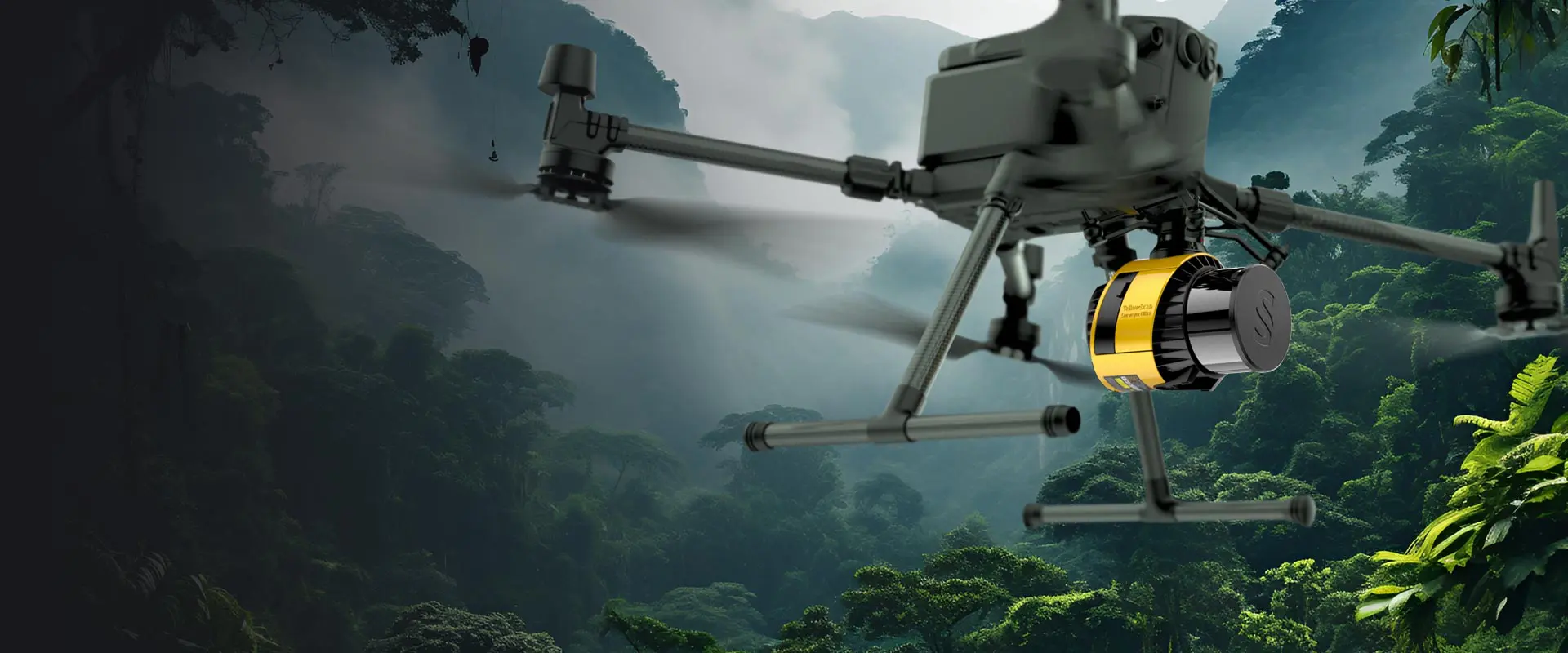
Choosing the best drone for LiDAR mapping
What is the best drone for your needs?
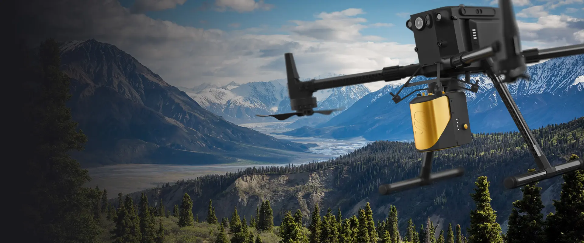
One of the first decisions you’ll need to make when choosing a drone [or Unmanned Aerial Vehicle (UAV), also known as small Unmanned Aircraft Systems (sUAS)] for LiDAR mapping is the size and rotor/wing configuration.
All the other choices to be made will be influenced by this and have a direct impact on the results you can expect to get out of your surveys. To begin with, here are some key factors to take into consideration.
Interested in more details about LiDAR mapping with drones? Discover our complete guide on Everything you need to know about LiDARs on drones.
Key-factors in your aerial LiDAR survey plan
Shape of the typical area to survey
Flat, rocky, hilly… Thinking about the location of your potential next projects will help you choose the drone that best fits your needs. For example, a multicopter drone allows for more agility than a fixed-wing with hilly terrains or vertical walls such as cliffs. While little space is required for multirotor take-offs and landings, you’ll need more room with fixed-wing drones (unless it is a VTOL fixed-wing). Giving yourself enough space to take-off and land is mandatory!
Size of the target area and flight time required for your LiDAR surveys
If you combine the size of the area to map with its shape, you easily get an idea of what you need. If you plan to fly over big flat areas or high enough, you need a high-speed drone (fixed-wing or helicopter drone) for better productivity. A multirotor drone won’t be the first choice (unless you have it already and are not afraid of doing numerous flights) as its speed is limited.
Autonomy of Your Drone Beyond speed
It is the autonomy of the drone that will determine the number of flights to be made in an area.
A multirotor will always have less autonomy than a fixed wing drone, which has the advantage of hovering and consuming less energy.
Altitude and Field of View (FOV)
Altitude and FOV directly impact productivity. Let’s say a vision angle reduced to -70deg/+70deg (for data accuracy purposes) will give you a 340m swath (ground coverage) if you fly at 80m AGL (Above Ground Level). The higher you fly, the more productivity you get as you need fewer flight lines as coverage…but at the same time you degrade accuracy of the LiDAR point cloud obtained. We usually give you typical mission planning for each LiDAR hardware (max flight altitude, speed) to get the most of your drone-based LiDAR.
Payload and autonomy
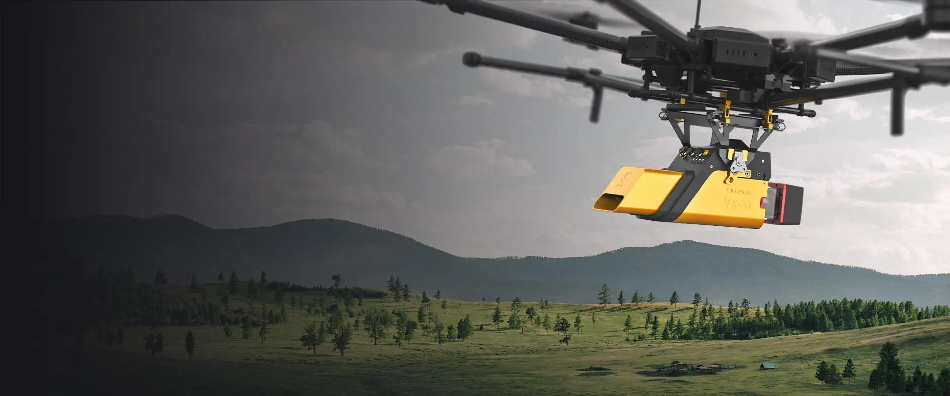
The weight of the LiDAR for Drone hardware system is a constraint for any drone. If the drone is not able to lift the complete payload (LiDAR hardware, battery, mount, antenna, camera…), no flight and no acquisition possible! And if the drone is struggling to take-off, this is not safe at all and data collected won’t be of good quality as the drone won’t be stable enough during the flight. You need to consider power of the drone and autonomy. For instance, a DJI M600 drone combined with a YellowScan Vx-20 LiDAR is able to fly and survey for roughly 15-20 minutes (depending on weather conditions). There is a big autonomy difference between electric-powered vs. combustion engine drones, which is reflected in pricing.
Height of vegetation
If trees are high in the target area for LiDAR mapping, make sure the drone and the LiDAR system can fly higher so you can fly safely while benefitting from your solution. At least 5 meters above the tree line is recommended.
Safety
For safe surveys, your UAV needs to meet the following requirements. Redundancy is mandatory in most countries to provide safety of operations in case of system failure i.e having a backup motor on your UAV. The transmission link between the UAV and the GCS (Ground Control Station) is crucial to be able to control the UAV at any given time. Moreover, certification is compulsory to legally operate a UAV and react the best way in different flight scenarios. Lastly, safety equipment such as parachutes, a cut-off engine option, or basically enough drone power left to both lift the payload and land safely would definitely help.
Cost
Pricing is certainly not the last criteria and has to fit your budget:
– a multirotor drone is easy to get started with, covers a smaller area and costs less (10-40K€)
– a fixed-wing drone is faster and offers a larger coverage zone at a higher cost (50-250K€)
– helicopter is the best combo of speed and agility but highest cost (30-55k€)
Regulations
Home Drone regulations are key when you learn how to fly a drone. You need to be a drone-certified pilot in your country to fly professional drones and indeed be aware of regulation changes (safety rules, no-fly-zones especially in urban areas, VLOS (Visual Line of Sight) or BVLOS (Beyond Visual Line of Sight).
Ease of integration
You have the LiDAR, you have the drone but…how to attach them? Some drones are designed with built-in cameras and other not. When you want to add a LiDAR sensor to your drone, you have to consider the size of the LiDAR (may make fixed-wing integration impractical if too big), the mounting options possible for the LiDAR (ease-of-use, anti-dampening system, robustness, cables and distance between LiDAR laser scanner optics and the ground to avoid potential stone projection during take-off/landing. ….).
Drones platforms: a detailed comparison
There are different classifications of drones to consider for aerial LiDAR surveying, and the type of application/usage you plan on deploying it can have an impact as well. When you add up all factors, you have three classifications to choose between; multirotor, fixed wing, and a single rotor UAV.
Multirotor drone
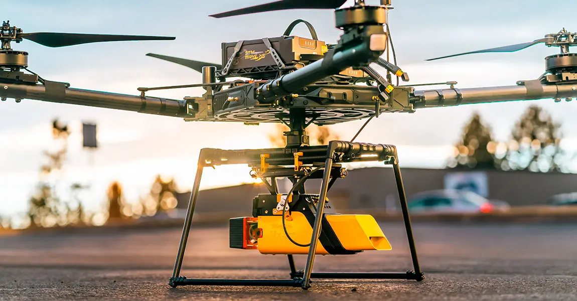
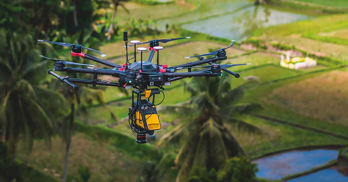
A multirotor drone is the most common type you find on the market. Most are smaller in size, but for example, the hexacopter or octocopter variant is larger and can handle multiple missions. Octocopter and hexacopter options provide more safety, because if one of the rotors fails you still have a few able to fly, whereas a quadcopter would fall out of the sky. Larger multirotor drones can also provide the most flexibility in equipment options, making them more useful in different mission profiles. They are also ideal for terrain that are tricky to access.
Ex: DJI M600/M300, Videodrone Geodrone X4L
Fixed-wing drone
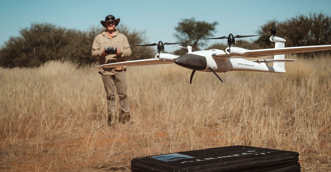
The next one to consider is fixed-wing drone as it can be the most efficient for aerial LiDAR survey work, cover the most terrain, the cost is an element due to its similarities to traditional manned aircraft. They are used for survey of linear infrastructures (powerlines, rail, road), of large forests or farmland or even river or sea coasts. They handle smaller payloads than multirotors (as LiDAR is integrated in the head) and bring added value when they offer Vertical Take Off and Landing (VTOL) for space and safety reasons.
Ex: Quantum Systems VTOL Trinity
Helicopter drone
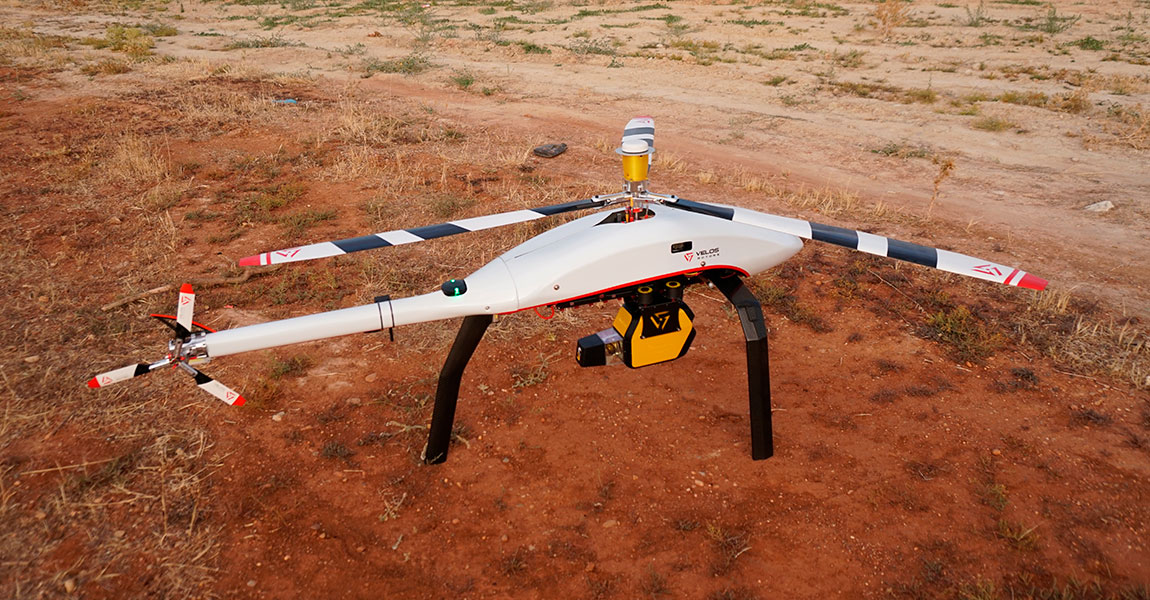
Lastly, the single rotor UAV (sometimes referred to as helicopter drone), can be more efficient and productive than multirotor (size is always a factor), but again everything depends on the mission profile. If you need to mount a larger solution for LiDAR mapping, its size and power capability make a single rotor drone the best option.
Ex: Pulse Aerospace Vapor 55, Sky Heli
Now, we hope you have some clues to better choose your UAV and take-off for LiDAR surveys! Want to discover other UAV LiDAR platforms? See our full list of UAV LiDAR integrations.
NB: Author Julien Bo.
