Found 16 Results
Page 1 of 1
YellowScan is pleased to be in Greece in October 2024! Our partner JGC will be showcasing one of YellowScan’s LiDAR system at the Greece Build Expo 2024. This event is taking place on October 17th to 20th, 2024 in Athens, Greece. To get your ticket, click HERE to register. If you’re unable to join us […]

17 October 2024
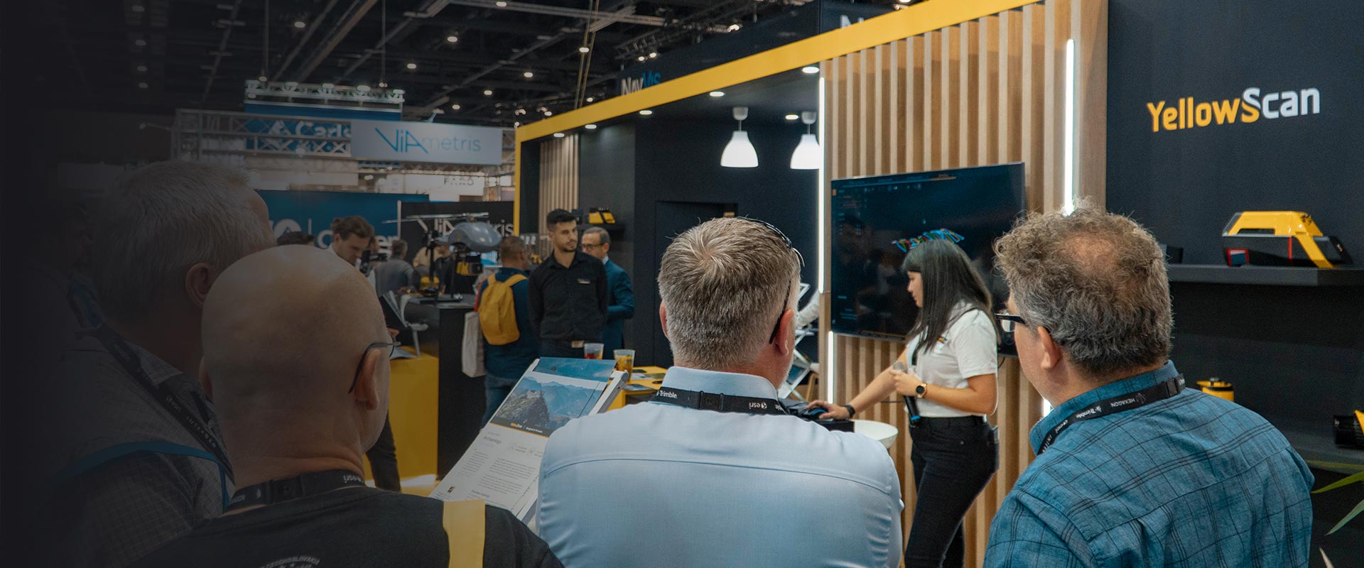
YellowScan is back at Intergeo in 2024! INTERGEO is positioning itself as the world’s leading platform for geospatial IT. Because digitization needs geoinformation. Meet YellowScan team in Berlin on September 24-26, 2024 in Stuttgart on booth J1.054! Discover over 200 exhibitors, products, innovations. Learn from 100 lectures and presentations at the STAGES and look forward […]
26 September 2024
YellowScan is pleased to meet you in London for DroneX 2024! DroneX 2024 is taking place on September 24th & 25th at ExCeL London. Come see YellowScan products on our partner Aetha‘s booth. 👋 Meet us: To get your ticket, click HERE to register. If you’re unable to join us but you would like to […]

25 September 2024
The YellowScan team cannot wait to see you at Commercial UAV Expo! Commercial UAV Expo is the leading international tradeshow and conference focusing on the integration and operation of commercial UAS. Come meet the YellowScan team in Las Vegas on September 3-5, 2024 at our booth 1131. We will be doing live demos of YellowScan […]

5 September 2024
YellowScan is pleased to meet you in Houston, USA! We will be attending Energy, Drone & Robotics Summit with our partner Frontier Precision on June 10th to 12th, 2024 in Houston, TX. Come say hi and discover some of our products on Frontier Precision’s booth. To get your ticket, register HERE. If you’re unable to […]

12 June 2024
YellowScan is pleased to meet you in Tokyo for the Japan Drone 2024! Japan Drone 2024 is Japan’s 1st Commercial UAS market EXPO & Conference by industry professionals. YellowScan will be exhibiting there from June 5th to 7th, 2024. Come check our products on our booth! Interested? Register here. If you’re unable to join but […]

7 June 2024
YellowScan is pleased to meet you in London for GeoBusiness 2024! GEO Business is back again for 2024, taking place on June 5-6 at ExCeL London. Come see the YellowScan products on our partner Aetha‘s booth! Meet us: To get your ticket, click HERE to register. If you’re unable to join us but you […]

6 June 2024
YellowScan is pleased to be in Sweden for the Euro Mine Expo in May 2024! Our partner Scandinavian Drone will be showcasing one of YellowScan’s LiDAR system at the Euro Mine Expo. This event is taking place from May 28th to 30th, 2024 in Skellefteå, Sweden. To get your ticket, click HERE to register. If […]

28 May 2024
YellowScan Demo in São Paulo! We will be doing a live demo of our products on May 24th, 2024 in São Paulo, Brazil. Interested? Register HERE to attend. If you’re unable to join but would like to learn more about our LiDAR solutions, click HERE to check out our products and/or schedule a meeting with […]

24 May 2024
YellowScan is pleased to meet you in São Paulo in 2024! MundoGeo Connect is taking place on May 21-23, 2024 at theExpo Center Norte in Sao Paulo, Brazil. Come say hi and discover some of our products on our booth #234. Interested? Click HERE to register. If you’re unable to join us, learn more about […]

23 May 2024
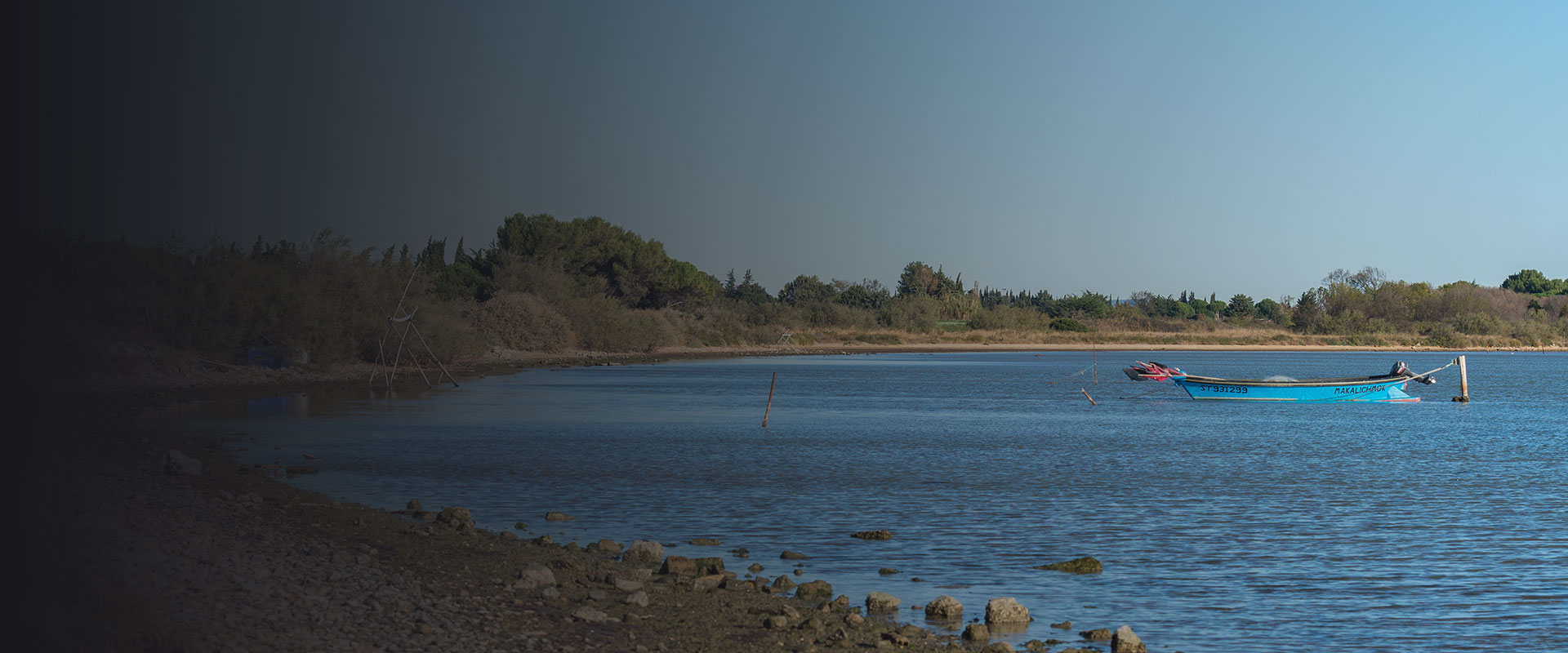
MOST Robotics is hosting a Demo Day in Wulften, Germany! Our Partner MOST Robotics will be doing a demo day of the YellowScan Navigator bathymetric LiDAR system on April 26th, 2024 at Wulften in Germany. Interested? Register HERE to attend. If you’re unable to join but would like to learn more about our LiDAR solutions, click HERE to check […]
26 April 2024
YellowScan is pleased to meet you in San Diego, USA! We will be attending Xponential with our partner Frontier Precision on April 23rd to 25th, 2024 in San Diego, CA. Come say hi and discover some of our products on Frontier Precision’s booth. To get your ticket, register HERE. If you’re unable to join but […]

25 April 2024
Discover our products live at our demo day! Frontier Precision Unmanned will showcase the new Inspired Flight IF800 Tomcat and YellowScan Surveyor Ultra, along with the IF1200A and YellowScan Voyager. We will be demonstrating some of the possibilities that Inspired Flight drones can unlock, empowering you to revolutionize your field—and how YellowScan LiDAR UAV delivers […]

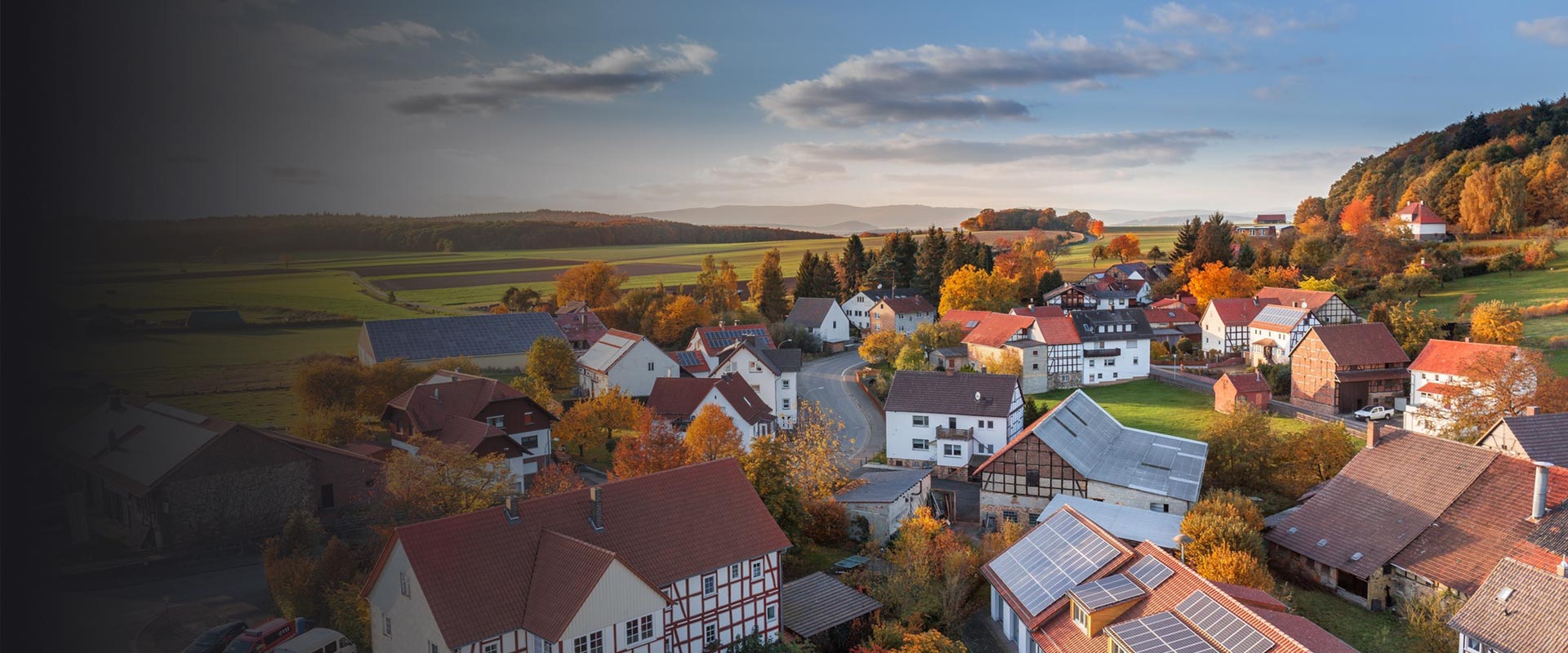
Demo Day in France! Join us for an exciting live product demo event showcasing the powerful capabilities of the YellowScan Navigator, our new bathymetric LiDAR system! The event’s goal is to showcase our newest high-tech tool in a real working environment and to show how easy it is to generate bathymetric data with the YellowScan […]
18 April 2024
Discover our products live at our demo day! We are very pleased to welcome you and your colleagues to what we are convinced will be an enjoyable and enriching day. It presents an exceptional opportunity to explore up close the fascinating solutions offered by YellowScan, with a specific focus on the YellowScan Surveyor Ultra LiDAR […]

Page 1 of 1